GLG410/598--Computers in Earth and Space Exploration
Lecture 13: Simple Image processing and getting images into ArcGIS
Goals
- Learn about satellite imagery
- Learn about on line processing of imagery
- Use images in ArcMap
- Learn about how geology, topography, and imagery tell us about the earth (applied to Arizona)
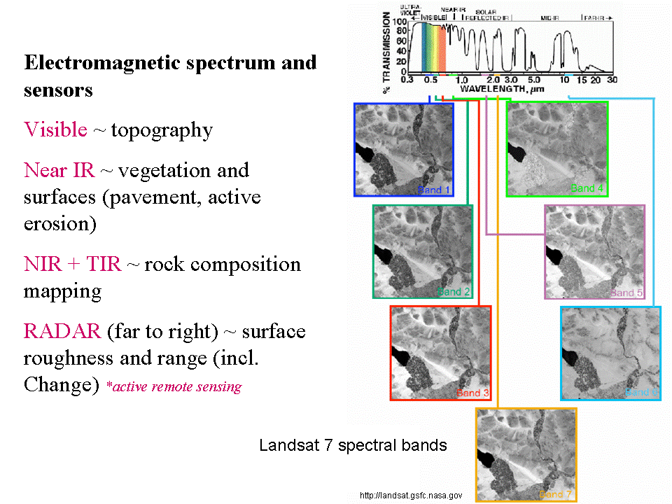
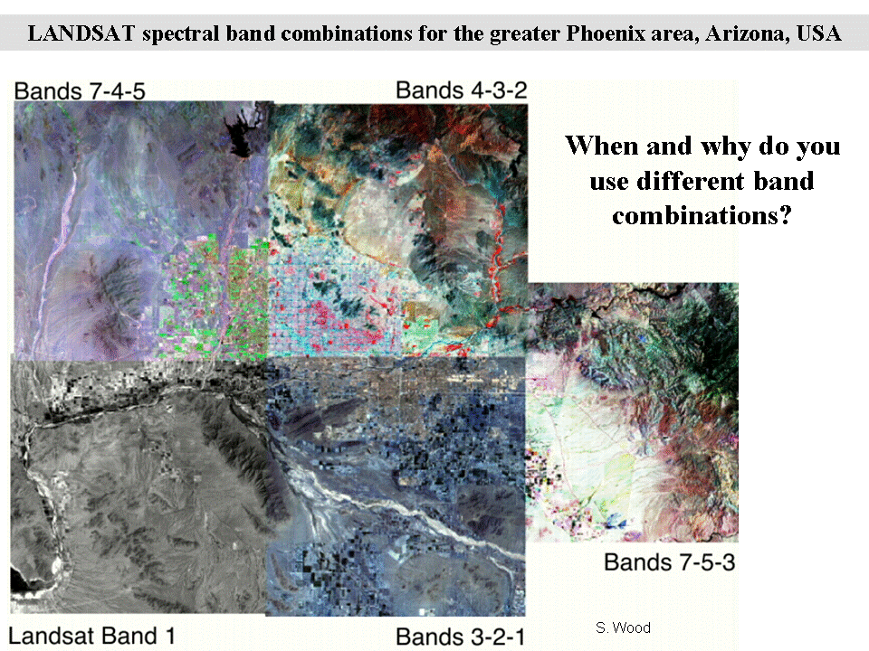
Satellite imagery
Satellite imagery are those images gathered from a satellite platform of the earth.
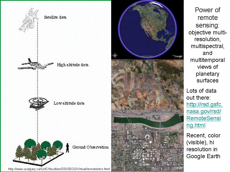
These images come from a lecture in my Geomorphology course: http://arrowsmith362.asu.edu/Lectures/Lecture7/
We will work with ASTER imagery for this class: http://asterweb.jpl.nasa.gov/
Here is an explanation of the different bands in the ASTER data product: http://agassiz.la.asu.edu/docs/aster-white-paper.html
Online processing of imagery
This Powerpoint file explains the on line processing system that we developed: Explanation_of_IMSservlet.ppt.
Here is our site: http://aspen.asu.edu/website/Geoinformatics/viewer.htm
This tutorial explains how to use it: Tutorial-ASTER_data.htm
GLG410/598 Computers in Earth and Space Exploration
Last modified: March 16, 2009