| Announcements | Syllabus | Schedule | Weekly lecture notes | Links |
| Date | Topic |
|---|---|
| Week 1: 8/20 & 8/22 | Introduction to Computers in Geology Introduction and HTML continued |
| Weeks 2 and 3: 8/27, 8/29 & 9/4 | Addressing Scientific Questions with Spreadsheets Excel warm up exercise Excel warm up exercise 2 Excel warm up exercise 3 |
| Week 4: 9/12 | Data visualization Excel help reminder |
| Week 5 and part of 6: 9/17, 9/19, & 9/24 |
Basic statistics in a spreadsheet Curve Fitting |
| Week 6, continued: 9/26 | Introduction to Geographic Information Systems |
| Week 7: 10/1 & 10/3 |
Simple Image processing and getting images into ArcGIS Reference Datum Map Projections UTM - Universal Transverse Mercator Geographic Coordinate System UTM zones of the world State Plane Excellent Reference: Cartographical Map Projections Mercator projection, etc. |
| Week 8 10/8 & 10/10 |
Using CITRIX on ASU systems to access ArcGIS and other applications Tutorial to acquire Digital Elevation Data from USGS site and process them in ArcGIS |
| Week 9 10/15 |
Small tutorial on ArcSCENE to merge elevation data and air photos for 3D visualization 3D analyst and 3D visualization in ArcGIS--DOn't forget about ArcGlobe!! ASU's Decision Theater--large scale interactive visualization Assignment 8: DEMs and USGS' Seamless site |
| Week 10 10/22 and 10/24 |
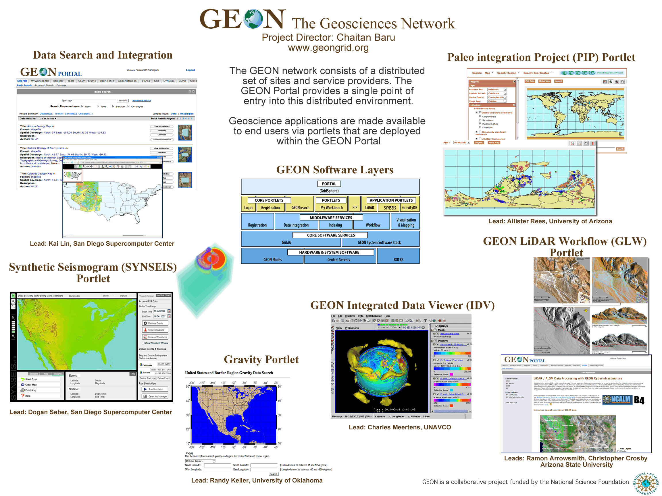
GEON and Cyberinfrastructure GEON Overview image National Center for Airborne Laser Mapping Overview Lidar overview from GEON LiDAR and active faulting studies Mt St. Helens LiDAR monitoring Mt. St. Helens 2004 animation of lava dome growth from repeat LiDAR More cool Mount Saint Helens LiDAR and other imagery GEON LiDAR Workflow and ArcMap--tutorial 11644855686571868028251.idw.arc.zip Sample Wallace Creek area 0.5 m DEM--14Mb can be slow to download. Assignment due Weds, 10/31/2007 on your web page: Produce the following maps of the Wallace Creek area:
|
| Week 11 10/29 and 10/31 |
This week we will start to georeference maps and images. Georeferencing raster data in ArcGIS |
| Week 12 11/7 |
Georeferencing raster data in ArcGIS Basic features in ArcMap--Shapefiles |
| Week 13 11/14 |
Field Exercise at Dreamy Draw |
| Week 14 11/19 |
Field Exercise at Dreamy Draw Digitizing the geologic map in ArcMap Processing the survey data |
| Week 15 11/26 & 11/28 |
Query and processing of vectors Overview of Fissure, Gravity, and Subsidence studies by Paul Ivanich, ASU M.S. and Arizona Department of Water Resources: (.ppt) and some movies of runoff into fissures: .MOV and .MOV |
| Week 16 12/3 |
Processing rasters with raster calculator: application to landscape reconstruction |